Mihalko Family
Location
Pets
Photo Gallery
News
Army Service
Army in Germany
History
Links
Contact Us
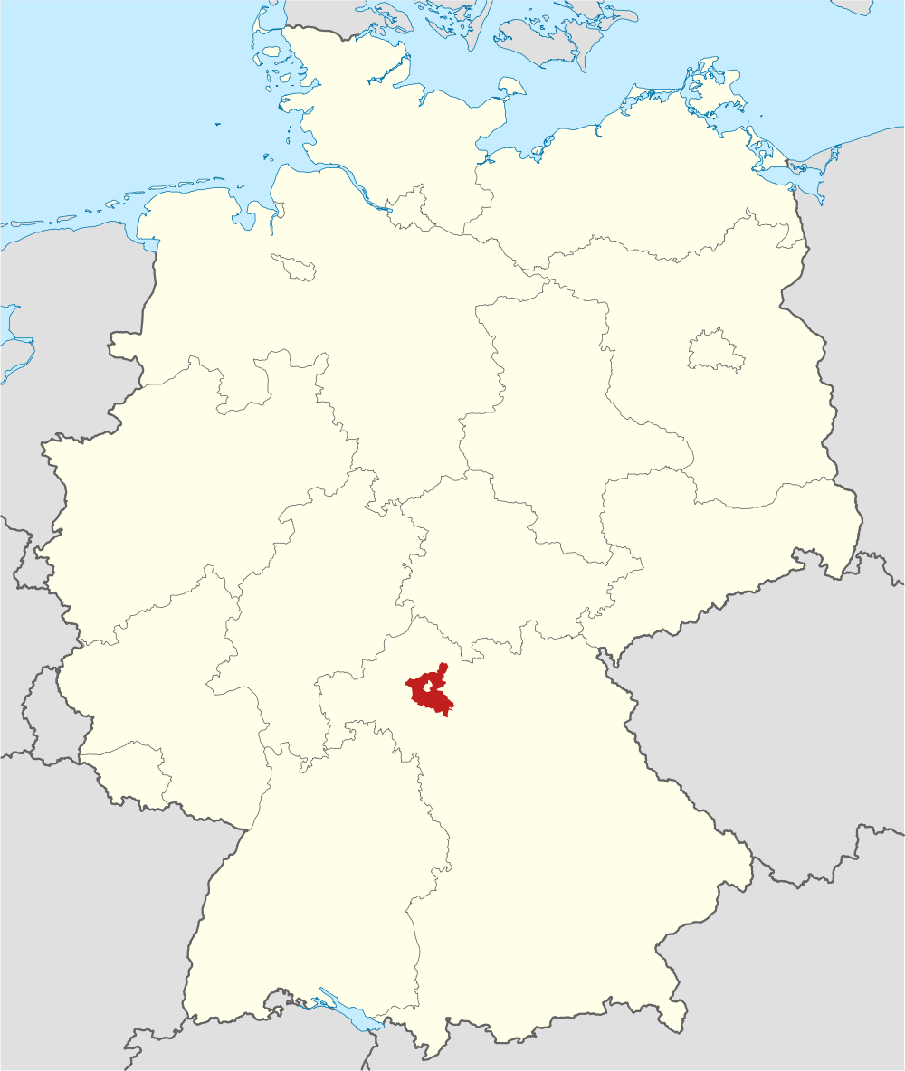
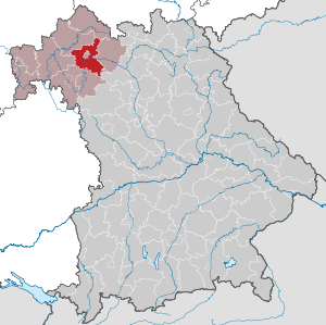
SCHWEINFURT COUNTY
(LANDKREIS)
Coat of Arms
Map
Statistics
State:
Bavaria
Area:
842 km²
District Seat:
Schweinfurt
Inhabitants:
114,813 (12/2015)
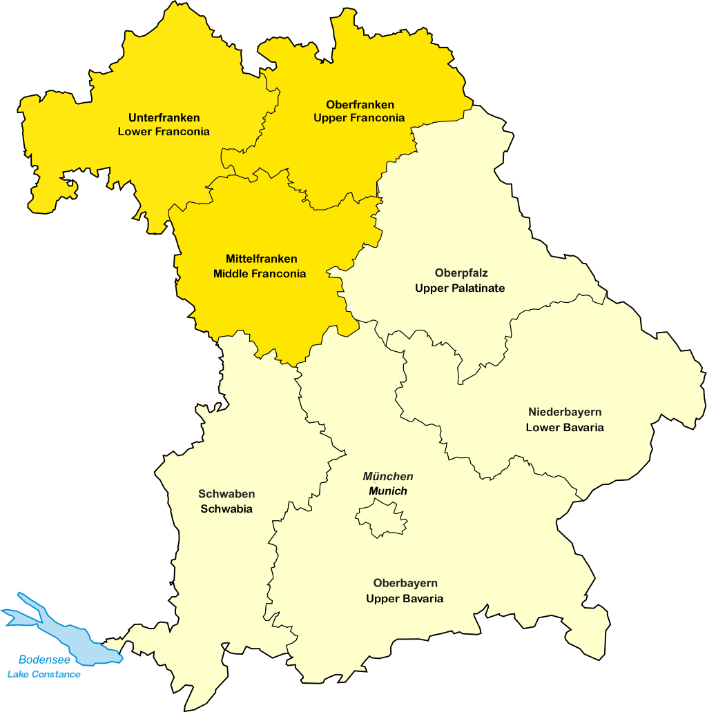
Adm. region:
Unterfranken
pop. density:
140 per km²
Region:
Main Rhön
Car identification:
SW
Schweinfurt during WWII and Now
Page
1
2
3
4
5
6
X
Select a Location
Germany
Bavaria
Lower Franconia
Schweinfurt County
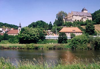
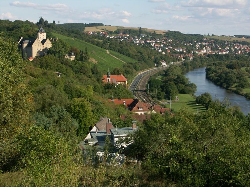
Schonungen Township
Forst
Pennsylvania
Schweinfurt County
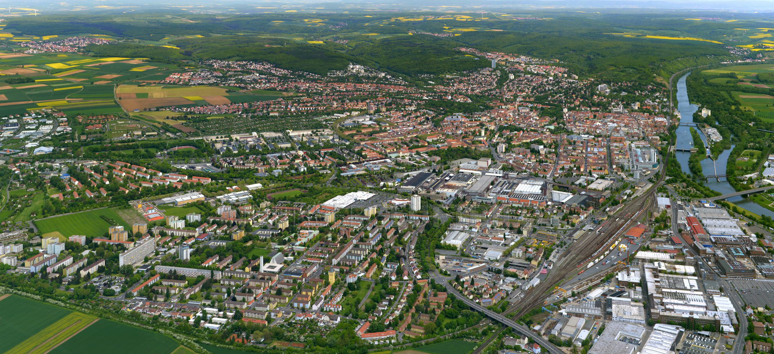
Schweinfurt
Schweinfurt
Official Website
City of Schweinfurt
Schweinfurt
Schweinfurt
Official Website